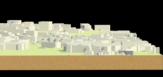
 OS MasterMap: Building Height
Land and Height Data: OS Terrain 5 Contours
Can be downloaded in dwg format (compressed, so right click and unzip) and used in Rhino, SketchUp, AutoCAD, VectorWorks or Revit.
I would recommend starting with Rhino to locate and trim the data correctly. It is also the quickest way to produce slices for the laser cutter.